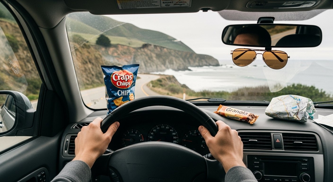
Nothing beats that first curve on an empty road, wind whipping through the car. I chased sunsets like that for years, pulling over for no reason. Burned a tank of gas once forgetting to check the gauge. These drives taught me America’s best views come free, if you time it right.
One wrong turn led to my favorite overlook. Now I pack light and drive slow.
25 Jaw-Dropping Scenic Drives In Usa For Road Trips
These 25 scenic drives in USA are ones I've driven, swearing at traffic or grinning ear-to-ear. Each pulls you over with real views, not postcards. Exactly 25 here, with stops that stick.
1. Pacific Coast Highway from Monterey to Big Sur
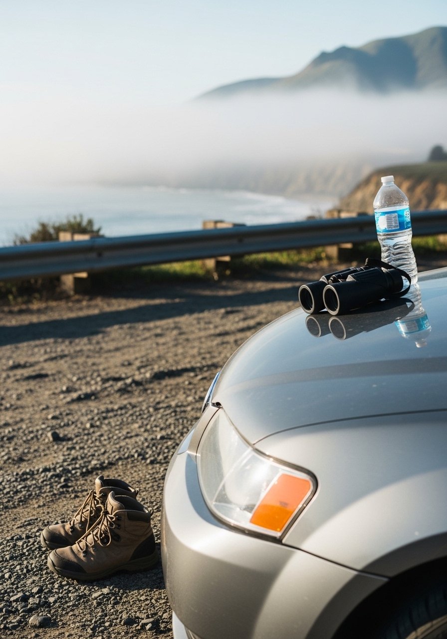
I started this drive at dawn from Monterey, fog lifting off the water. Cliffs drop straight to waves crashing – felt like the edge of the world. Stopped at Bixby Bridge for coffee from a thermos, watched pelicans dive. The road hugs the coast so tight, every turn reveals a new cove.
By noon, elephant seals barked below Pfeiffer Beach. I hiked down with my binoculars, spotting one pup flop into the surf. Sun warmed the purple sand. Traffic picked up later, so mornings rule.
Watch for narrow pullouts – claim one early. Gas in Carmel; stations vanish south.
Parked too long once, missed sunset. Now I set phone alarms.
What You’ll Need for This Trip
Insulated water bottle, 32oz stainless
2. Blue Ridge Parkway from Asheville to Roanoke
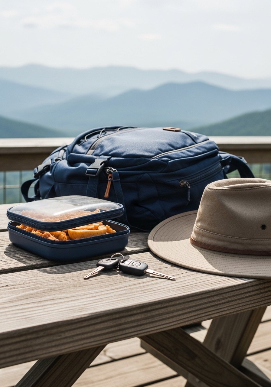
Drove this in fall, leaves turning fire-orange around every bend. From Asheville, it climbs slow into misty ridges. Pulled over at Craggy Gardens for blueberries picked roadside – tart and free. The parkway’s 45mph limit forces you to breathe.
Linn Cove Viaduct appeared like stone lace over the valley. I stopped, sketched it rough in my notebook. Fog rolled in by afternoon, turning drives dreamy.
No billboards, just overlooks. Pack layers; tops hit 50F even in summer.
Sunset at Peaks of Otter lake reflected peaks perfectly.
What You’ll Need for This Trip
Layered fleece jacket, packable
Reusable snack containers, bpa-free
3. Going-to-the-Sun Road through Glacier National Park
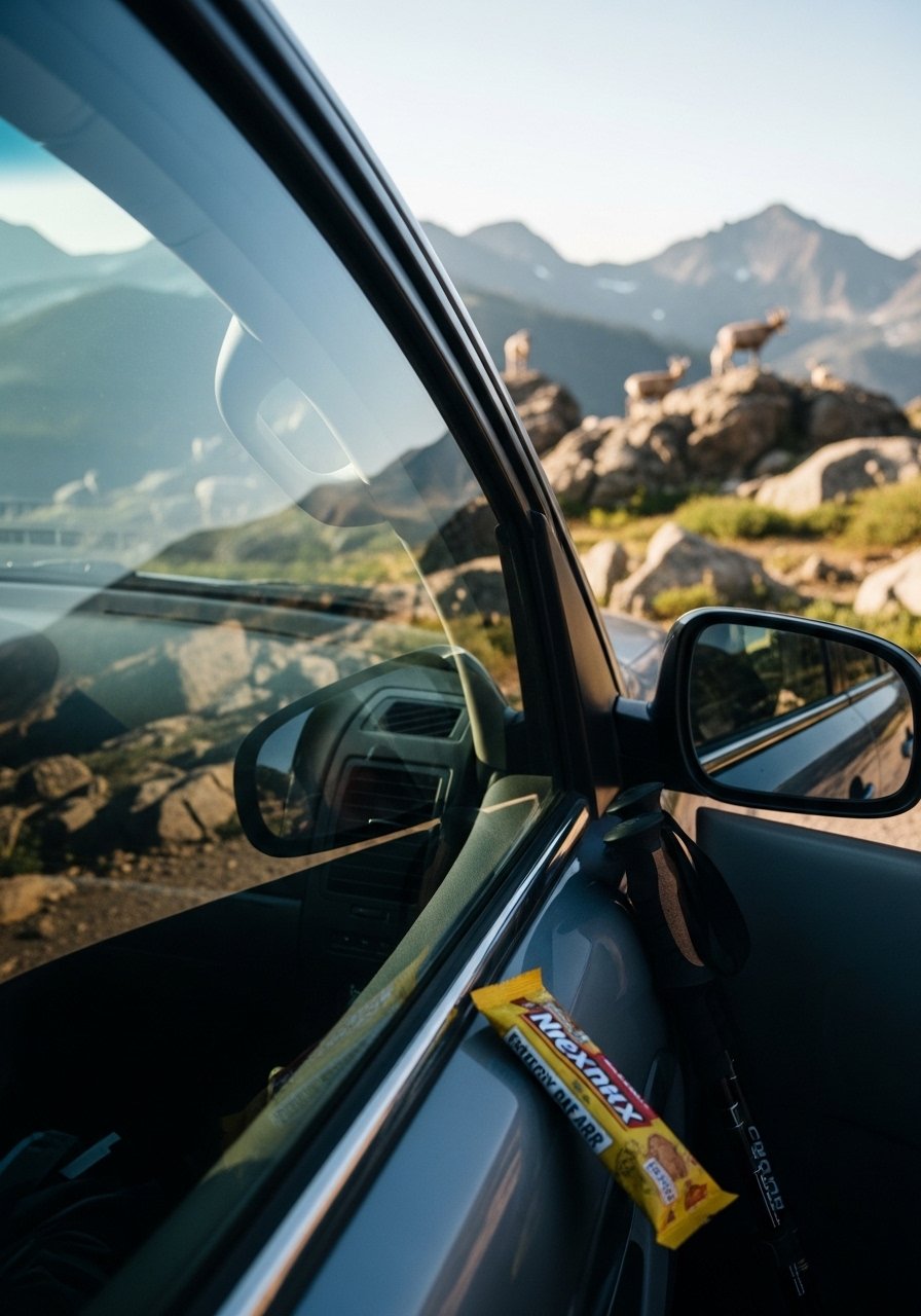
Crossed this in July, snow still capping peaks. The road switchbacks up Logan Pass, waterfalls threading red rock walls. I missed the east entrance once, circled back sweating. Stopped at Wild Goose Island for lunch – lake so clear, mountains mirrored.
Avalanche Creek trail led to a roar of water; damp mist hit my face. Bears possible, so bear spray clipped on.
Drive early; gates open 6am, crowds by 9. Windows down for glacier air.
That detour taught me to download offline maps.
What You’ll Need for This Trip
Bear spray holster, quick-draw
Collapsible hiking poles, lightweight
4. Beartooth Highway from Red Lodge to Cooke City
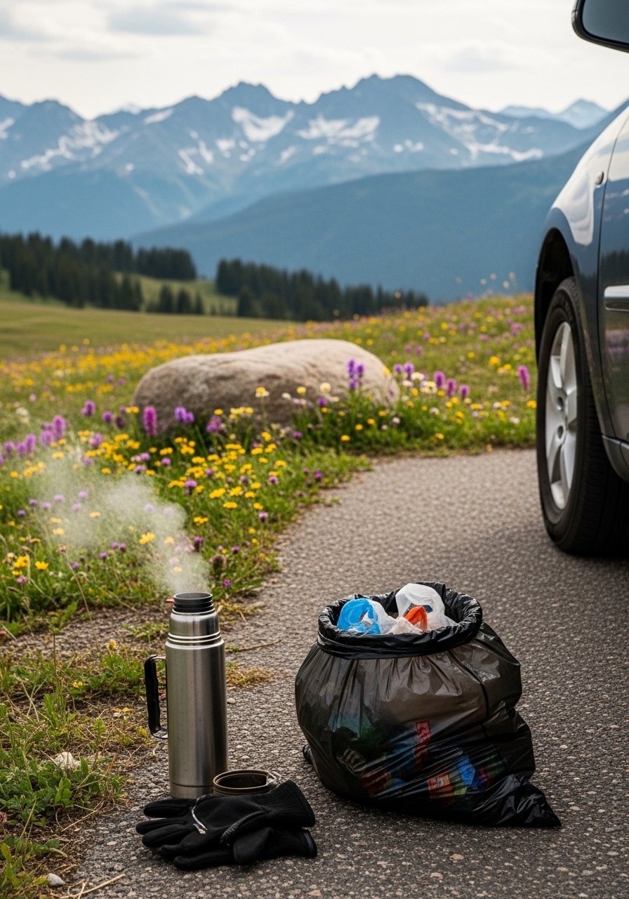
Highest road in the lower 48, started at Red Lodge under blue sky. Climbed to 10,947ft, tundra like moonscape with lakes dotting. Beartooth Plateau winds opened to Wyoming plains. Grizzlies roam; I scanned with coffee in hand.
Pilot Peak overlook dropped my jaw – endless ranges. Afternoon clouds built fast.
Fill gas both ends; nothing up top. Summer only, June-September.
Quiet beats any theme park.
What You’ll Need for This Trip
Stainless thermos, 40oz leakproof
UV polarized driving sunglasses
5. Million Dollar Highway through Ouray to Silverton
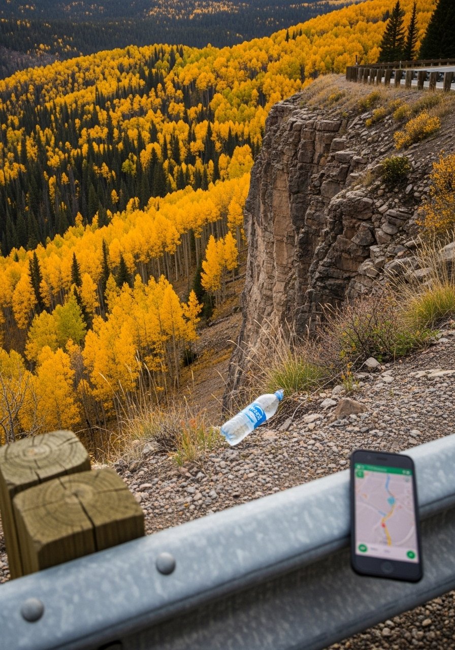
No guardrails half the way, sheer drops to rivers. Drove from Ouray, box canyons squeezing tight. Bear Creek Falls sprays road; I tasted rainbow mist. Silverton’s old mines dot the end.
Lunch in Telluride via side loop – burritos hot from truck.
White-knuckle but views pay off. Go slow, no phones.
Aspens shook gold in wind.
What You’ll Need for This Trip
6. Trail Ridge Road over Rocky Mountain National Park
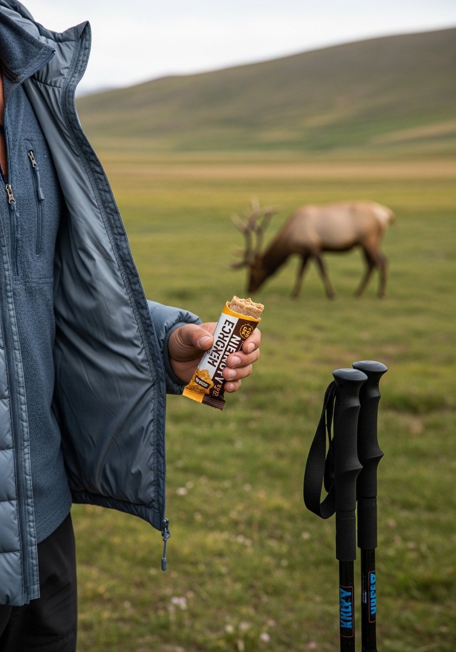
Highest continuous road, from Estes Park up tundra. Marmots whistled as I hiked short loop. Fall River Pass views layered peaks forever. Elk bugled at dusk.
Many overlooks; I picnicked at Forest Canyon.
Bighorn sheep on cliffs. Altitude hits – drink water.
Summer wildflowers carpet it.
What You’ll Need for This Trip
Packable puffy jacket, 550 fill
High-energy trail bars, variety pack
Adjustable trekking poles pair
7. San Juan Skyway circling Durango and Telluride
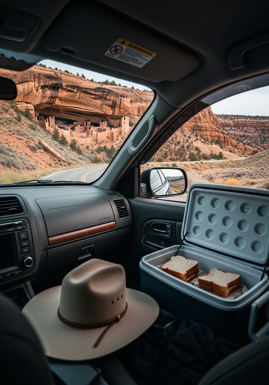
Full loop from Durango, mountains stack like plates. Coal Bank Pass snow even July. I overpacked clothes, left half in trunk. Telluride box canyon stole show – waterfalls thread aspens.
Mesa Verde ruins overlook from road. Hot springs in Pagosa bubble natural.
Four hours easy, camp overnight.
Loops back perfect.
What You’ll Need for This Trip
Car seat organizer for clothes
Portable camp chair, lightweight
8. Hana Highway winding Maui’s North Shore
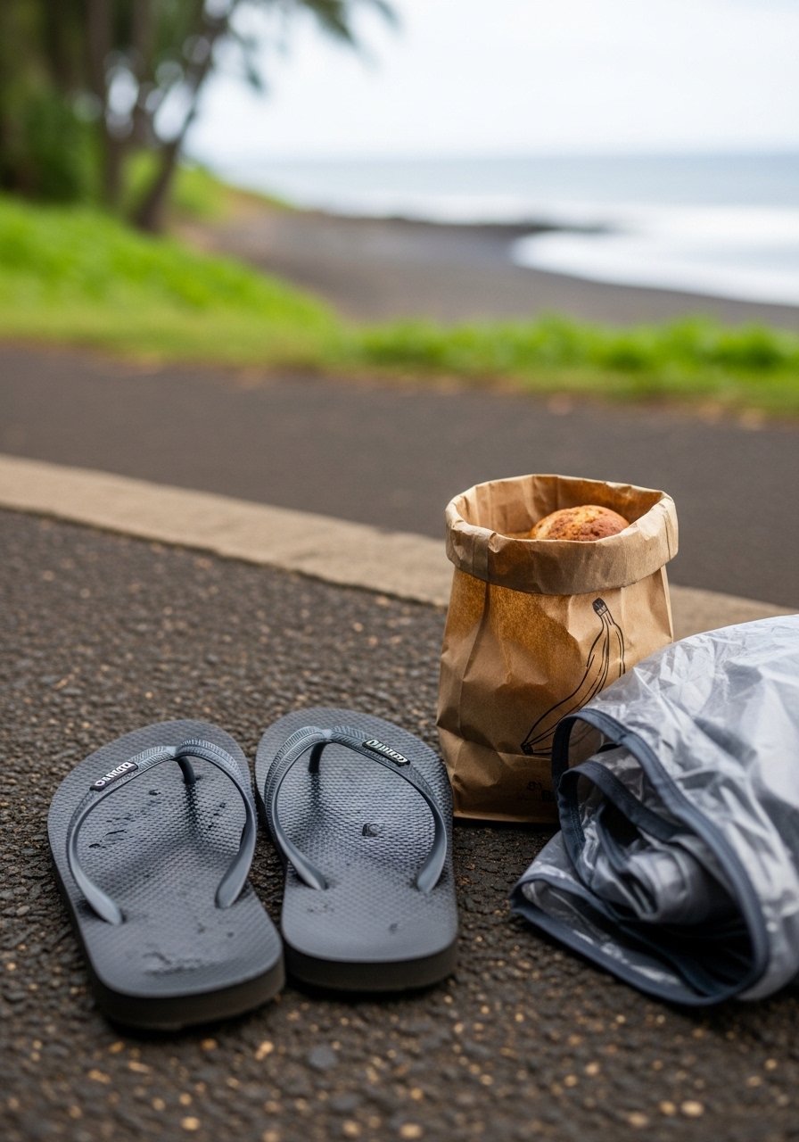
123 curves, one-lane bridges over jungle streams. Waterfalls at every mile – Twin Falls first dip. Bought banana bread from stand, still warm. Rain hit sudden, but views cleared rainbow sharp.
Road to Hana ends at black sand, waves pound.
Drive slow; locals pass safe. One tank gas.
Heaven on earth.
What You’ll Need for This Trip
Reusable produce bags for snacks
9. Overseas Highway from Miami to Key West
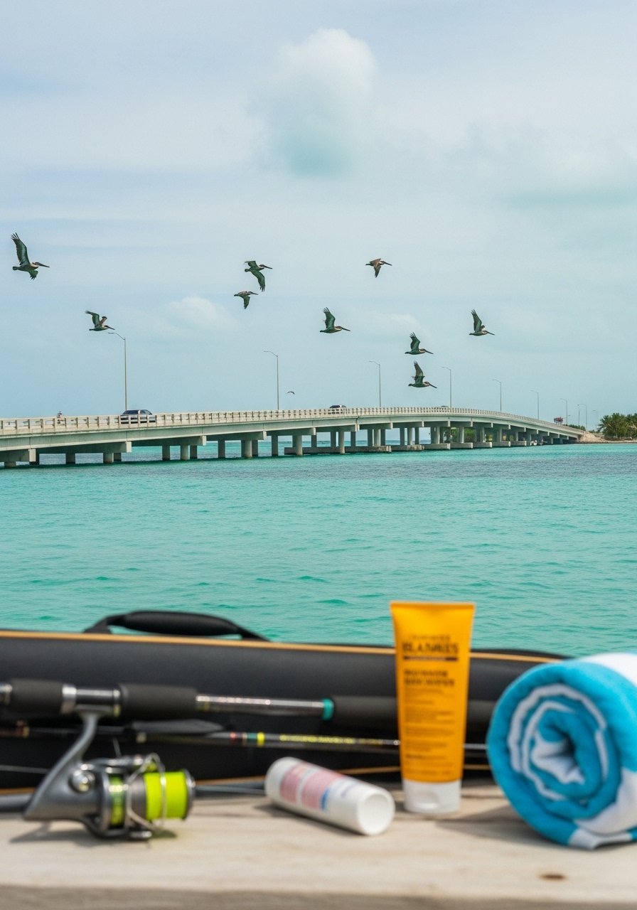
112 miles of bridges over ocean flats. Seven Mile Bridge sunset gold. Stopped Islamorada for key lime pie slice. Water so shallow, saw rays from car.
Key West end buzzes conch fritters.
No rush; pull for sunsets daily.
Ocean everywhere.
What You’ll Need for This Trip
Fishing rod travel case, compact
10. Kancamagus Highway through White Mountains
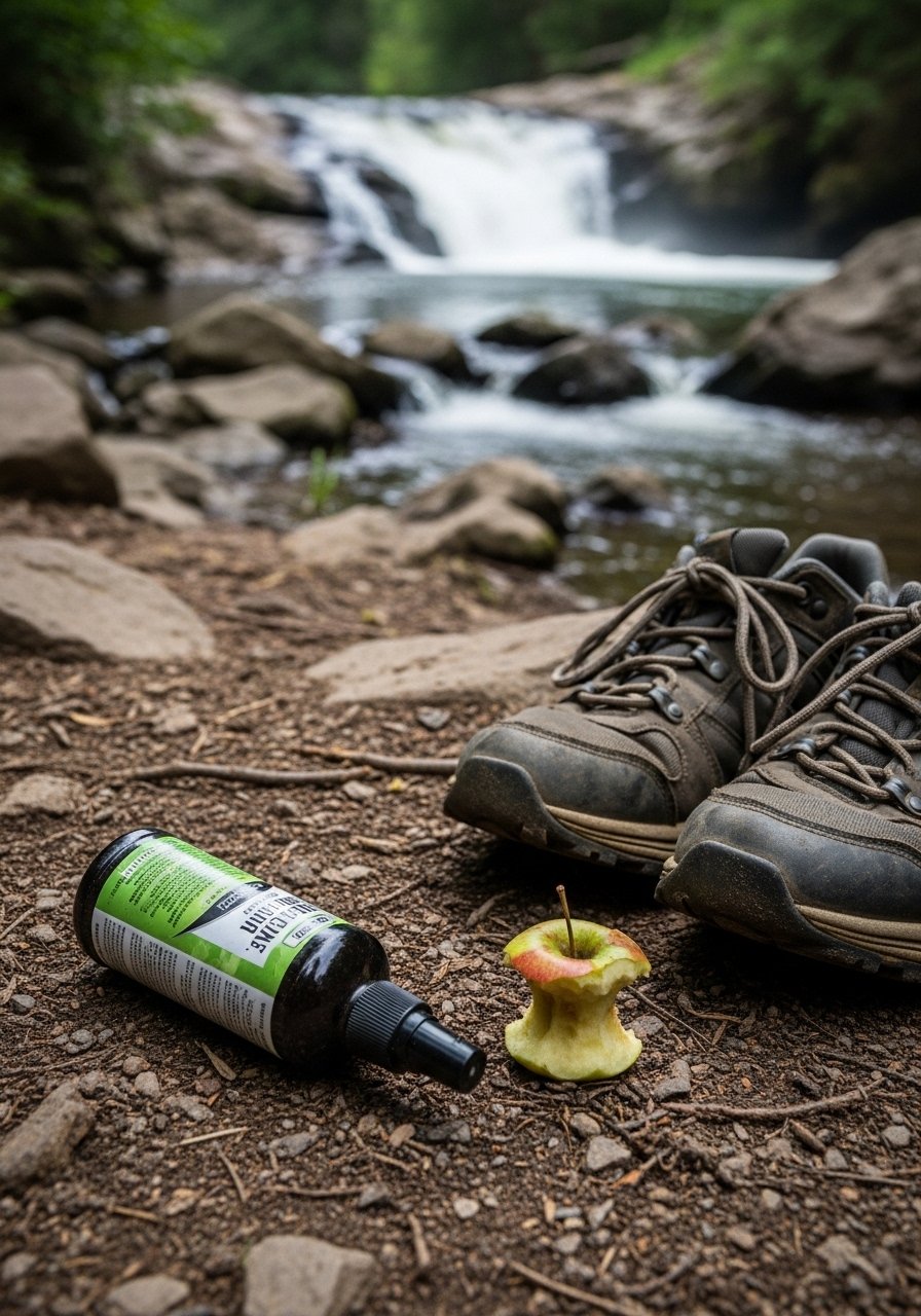
26 miles fall colors explode. Albany covered bridge frames river. Hiked to Sabbaday Falls, water carved potholes smooth. Picnic at Rocky Gorge – bread and cheese simple.
No services; pack full.
Moose Crossing signs real.
Leaves crunch under tires.
What You’ll Need for This Trip
Waterproof hiking shoes, mid-cut
11. Natchez Trace Parkway from Nashville to Natchez
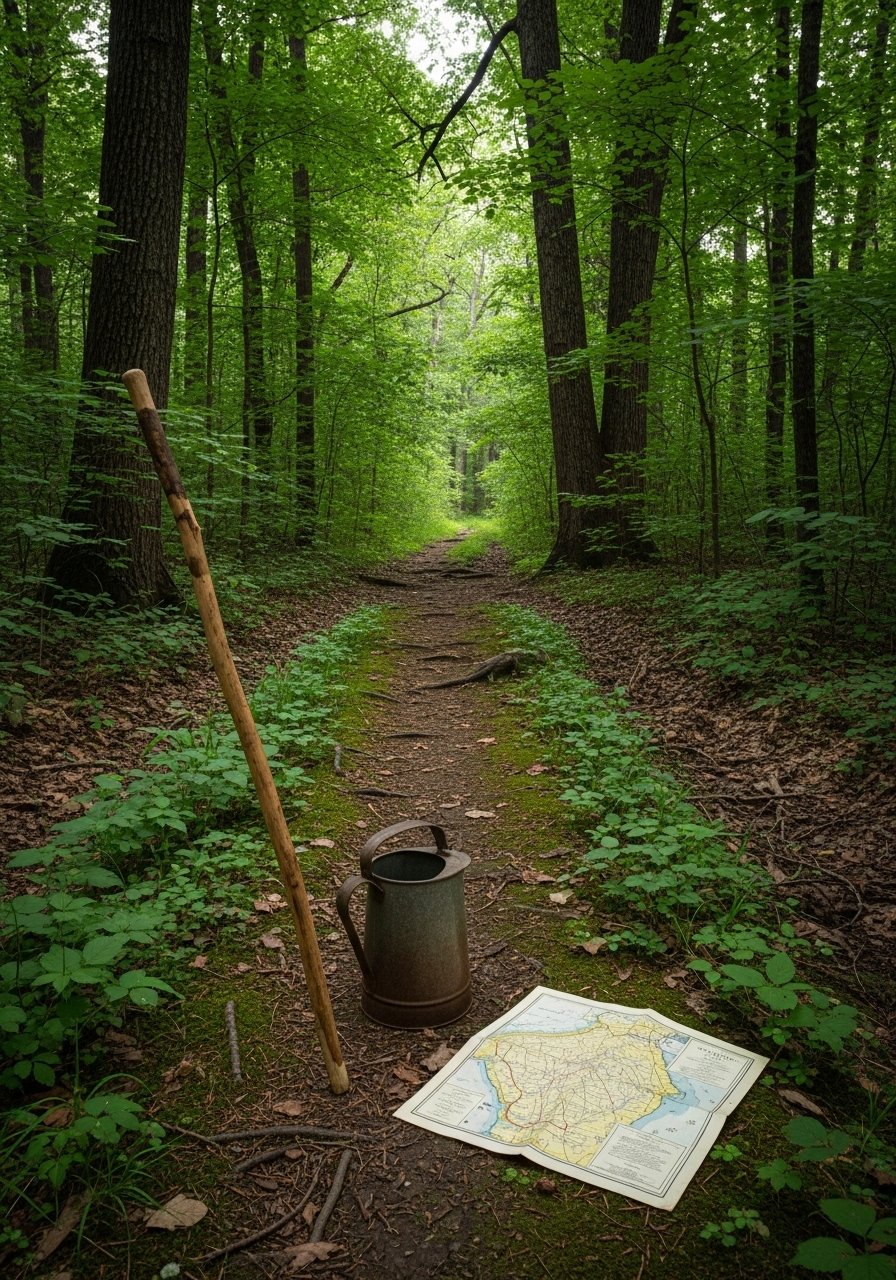
444 miles history, no trucks. Pharr Mounds ancient; felt time slip. Pulled for elk at sunset. Double Arch Bridge curves over swamp graceful.
Emerald Mound steps up plateau.
Easy pace, inns dot.
Peaceful roll.
What You’ll Need for This Trip
12. Park Loop Road around Acadia National Park
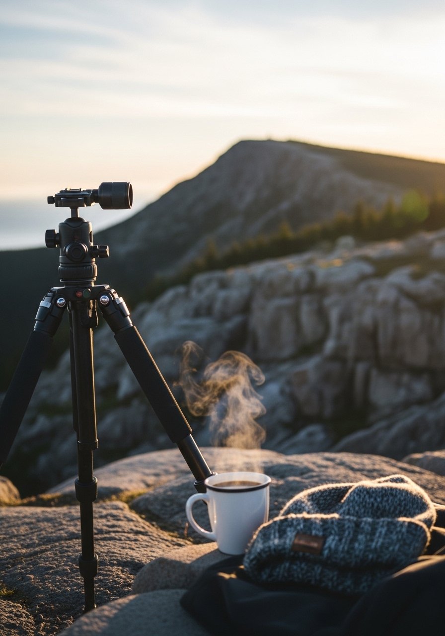
27-mile loop, started Cadillac dawn pink. Jordan Pond popovers hot buttery. Sand Beach waves crash granite. I parked wrong lot once, hiked extra mile grumpy.
Thunder Hole roars tide in.
Bikes share carriage roads.
Lobster fresh.
What You’ll Need for This Trip
Travel tripod, lightweight phone
13. Cascade Loop from Everett around Washington
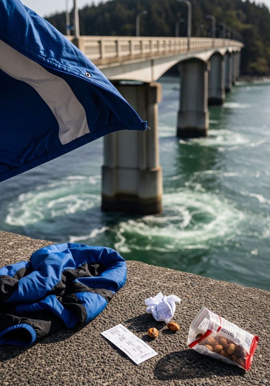
440 miles, North Cascades glaciers gleam. Washington Pass overlook switchbacks endless. Stehekin ferry ends road – valley orchards.
Anacortes tulips spring.
Rain common; layers key.
Ferry waits long.
What You’ll Need for This Trip
14. Columbia River Gorge Historic Highway
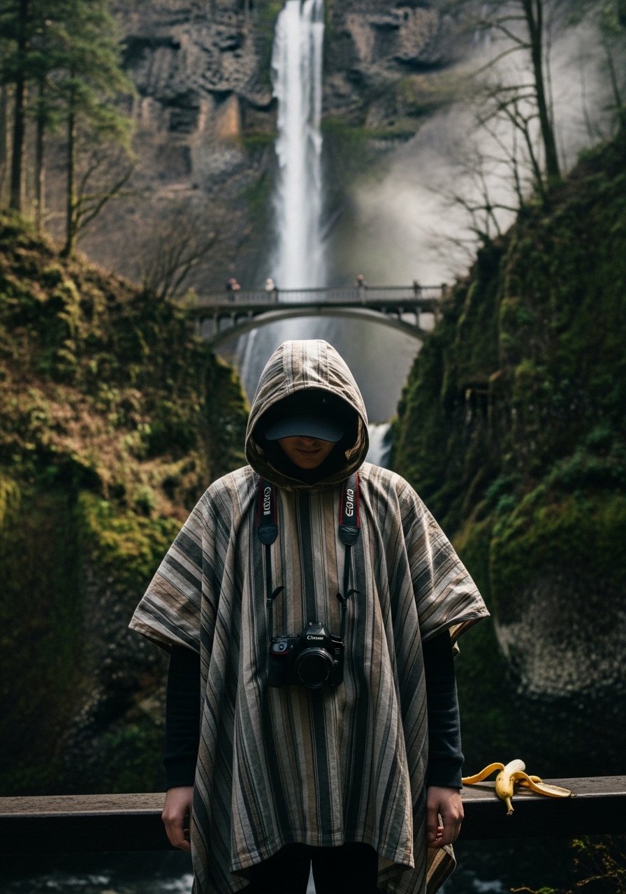
Hood River winds, fruit stands pile apples. Vista House perches cliff over gorge. Rowena Crest loops desert flowers.
Waterfalls 10+.
Wind surfers dance river.
Fall colors pop.
What You’ll Need for This Trip
15. Seward Highway from Anchorage to Seward
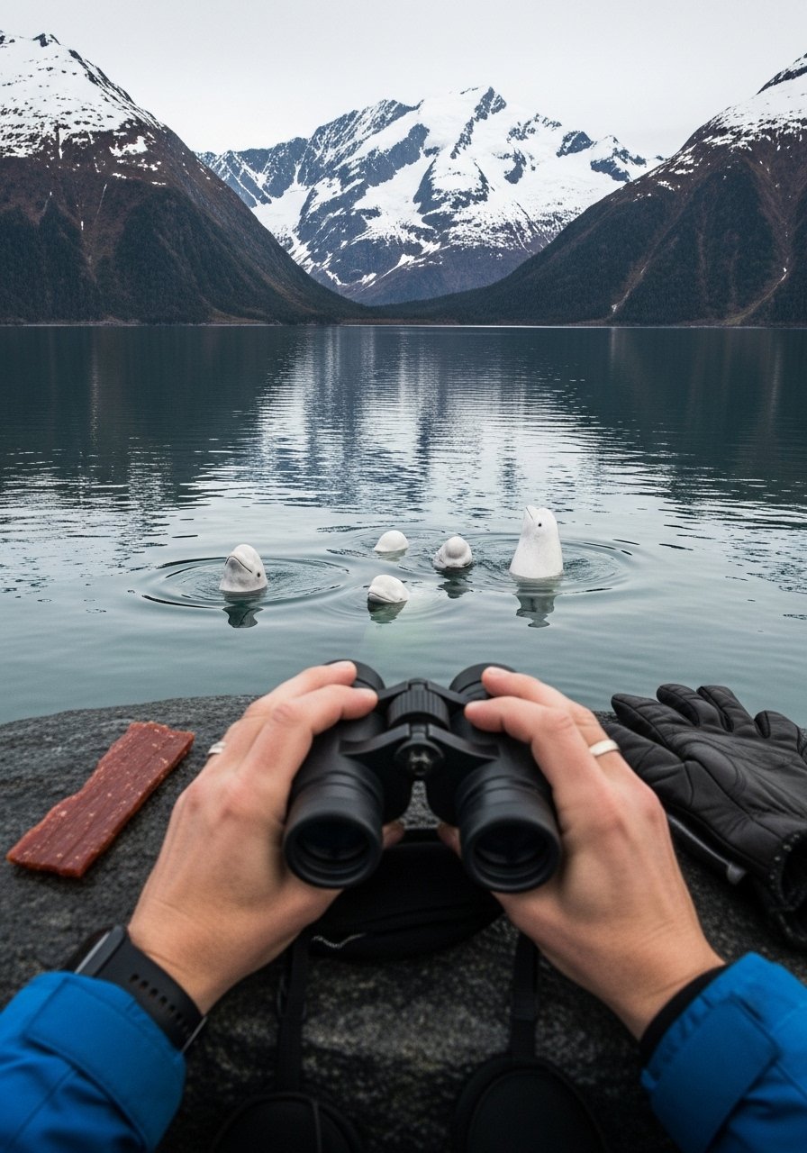
Glaciers calve into fjords. Belugas white dots in arm. Kenai Lake turquoise calm. Exit Glacier hike short blue ice.
Moose roadside.
Salmon runs silver.
Bear country.
What You’ll Need for This Trip
Glacier viewing binoculars 10x
16. Top of the Rockies Byway through Aspen
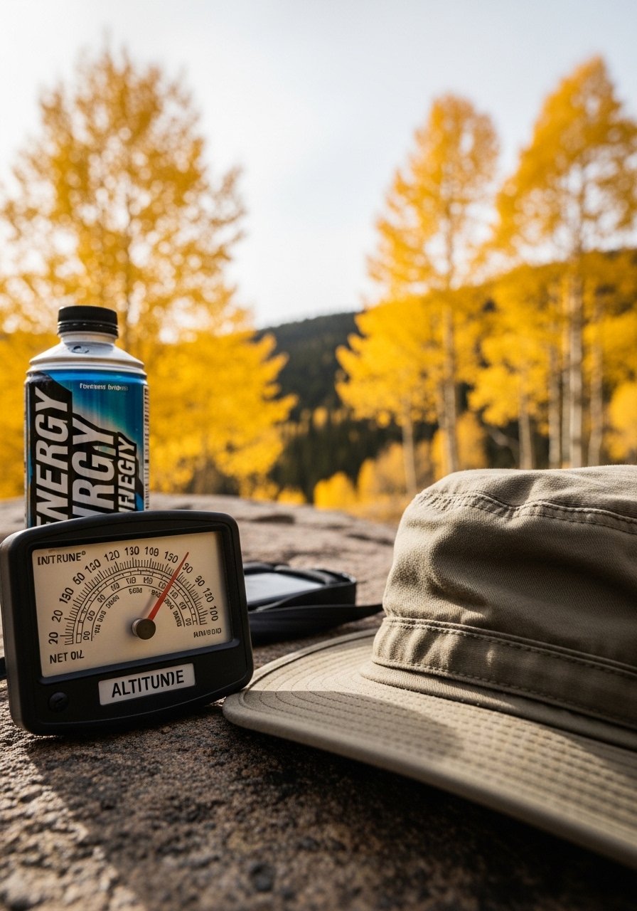
Independence Pass 12,000ft marmots play. Maroon Bells reflect lake mirror. Twin Lakes camp spot gold.
Aspen leaves swirl.
No chains needed summer.
Quiet peaks.
What You’ll Need for This Trip
Reflective energy drink holder
17. Enchanted Circle around Taos and Wheeler Peak
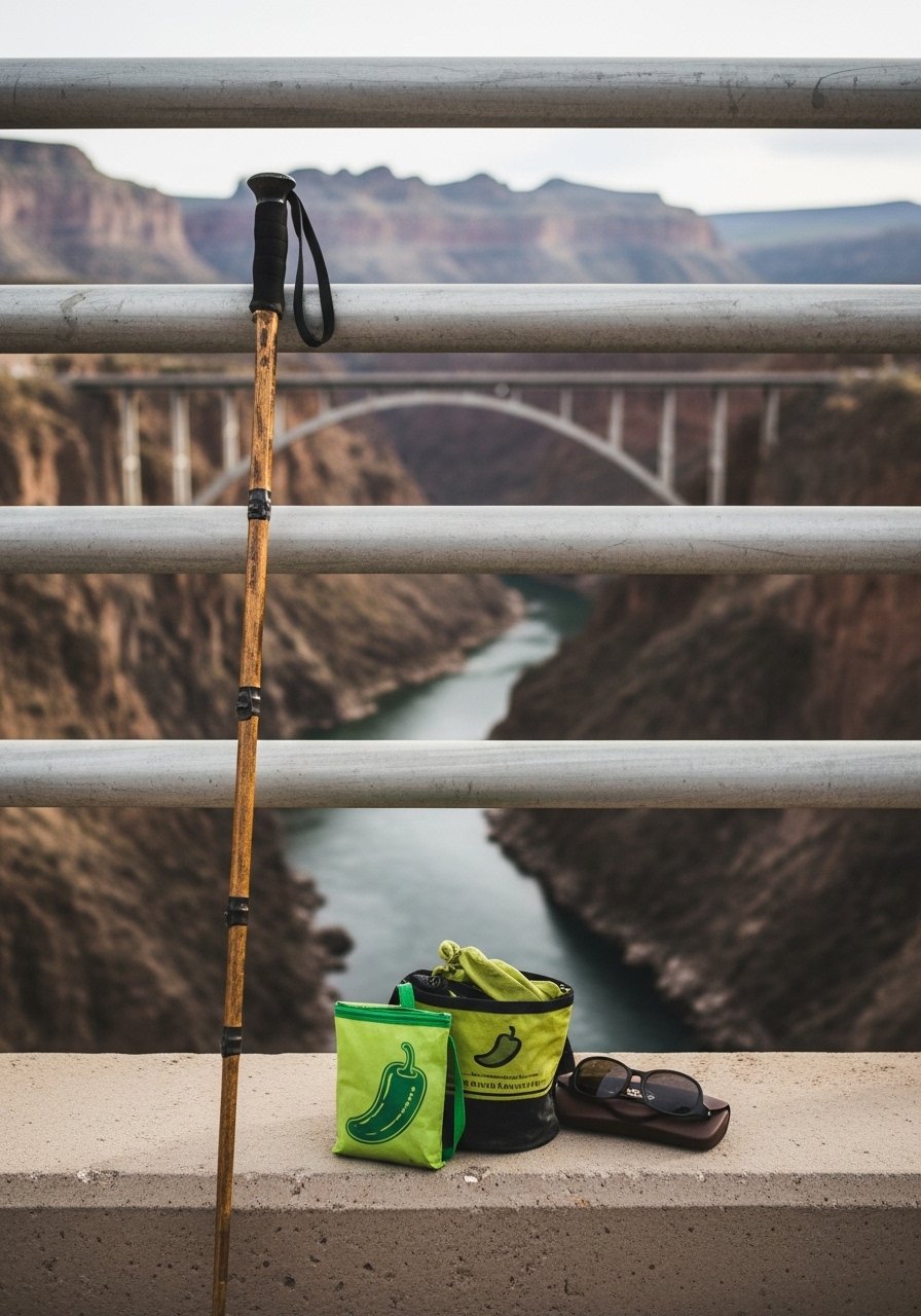
High desert to alpine. Taos Pueblo earth tones ancient. Gold Hill overlook valleys deep. Chile roasts roadside scent air.
Wheeler Peak trails snow.
Adobe calm.
What You’ll Need for This Trip
18. Silverado Trail through Napa Valley Vineyards
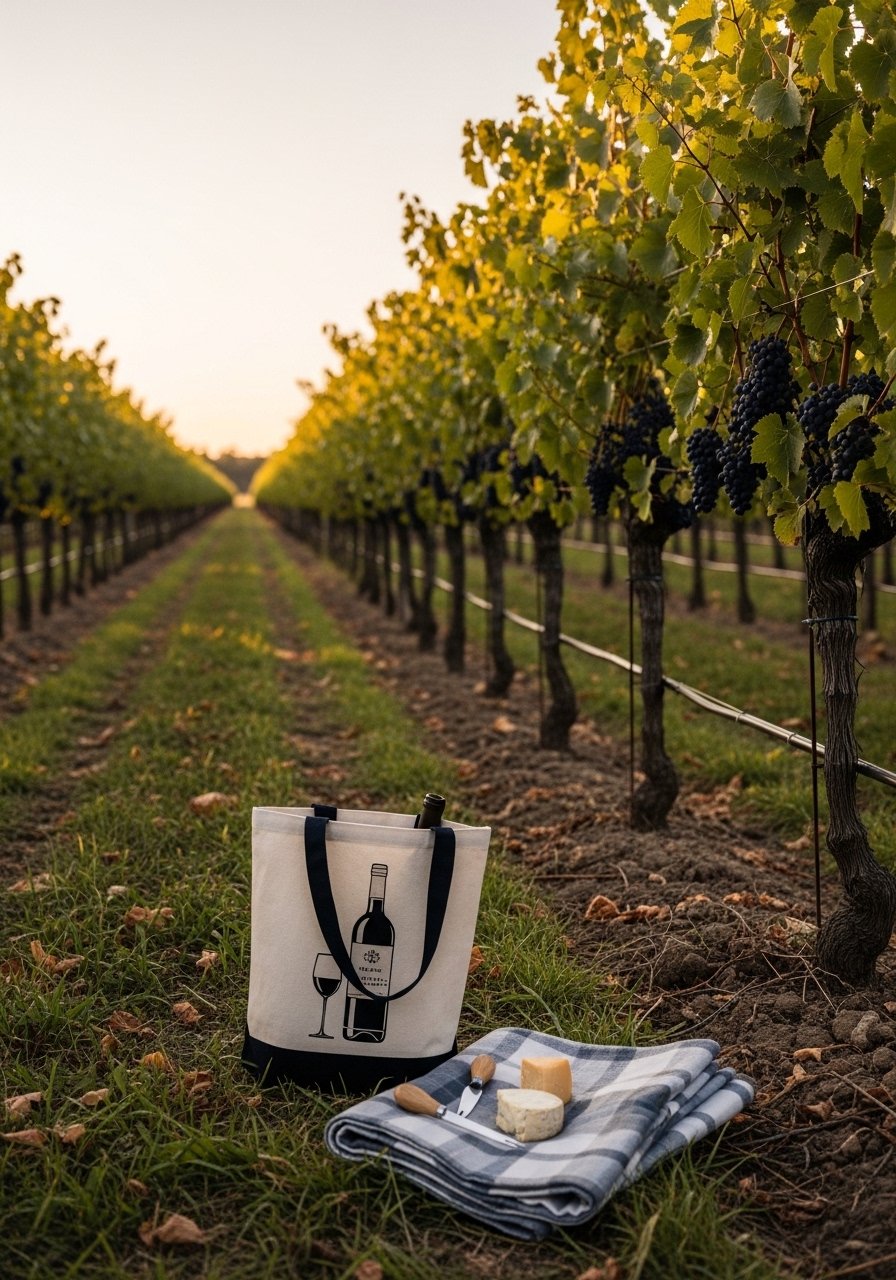
Less crowded than 29. Stags Leap cabernets deep. Picnic Yountville benches. Forgot corkscrew once, traded pie slice for open bottle.
Oakville Grocery sandwiches fresh.
Harvest crush feet stain.
Wine flows.
What You’ll Need for This Trip
Collapsible wine tote insulated
Picnic blanket water resistant
19. Door County Peninsula along Lake Michigan
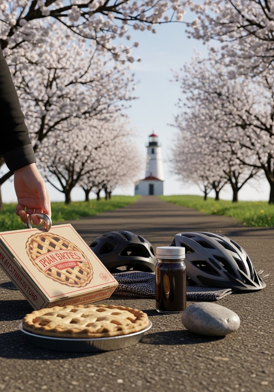
Cherries pie warm. Cana Island tractor over sandbar. Cave Point waves carve cliffs.
Fish boils steam.
Bays quiet.
Summer berries.
What You’ll Need for This Trip
20. Great River Road along Mississippi from La Crosse to Dubuque
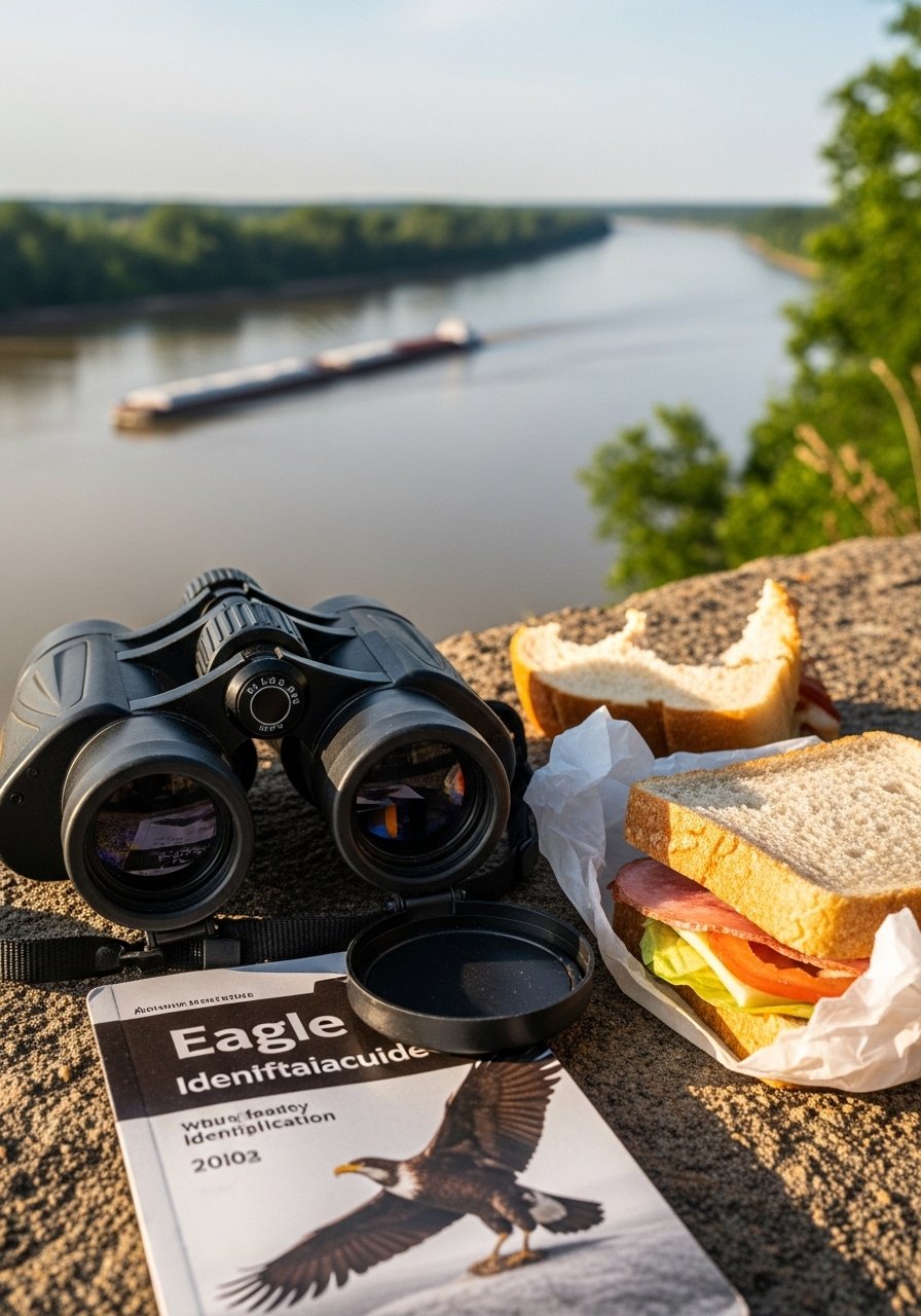
Bald eagles soar bluffs. Effigy Mounds earth shapes ancient. Potosi iron markings river.
Barges long trains.
Fall fog mystic.
Quiet bends.
What You’ll Need for This Trip
21. Angeles Crest Highway into San Gabriel Mountains
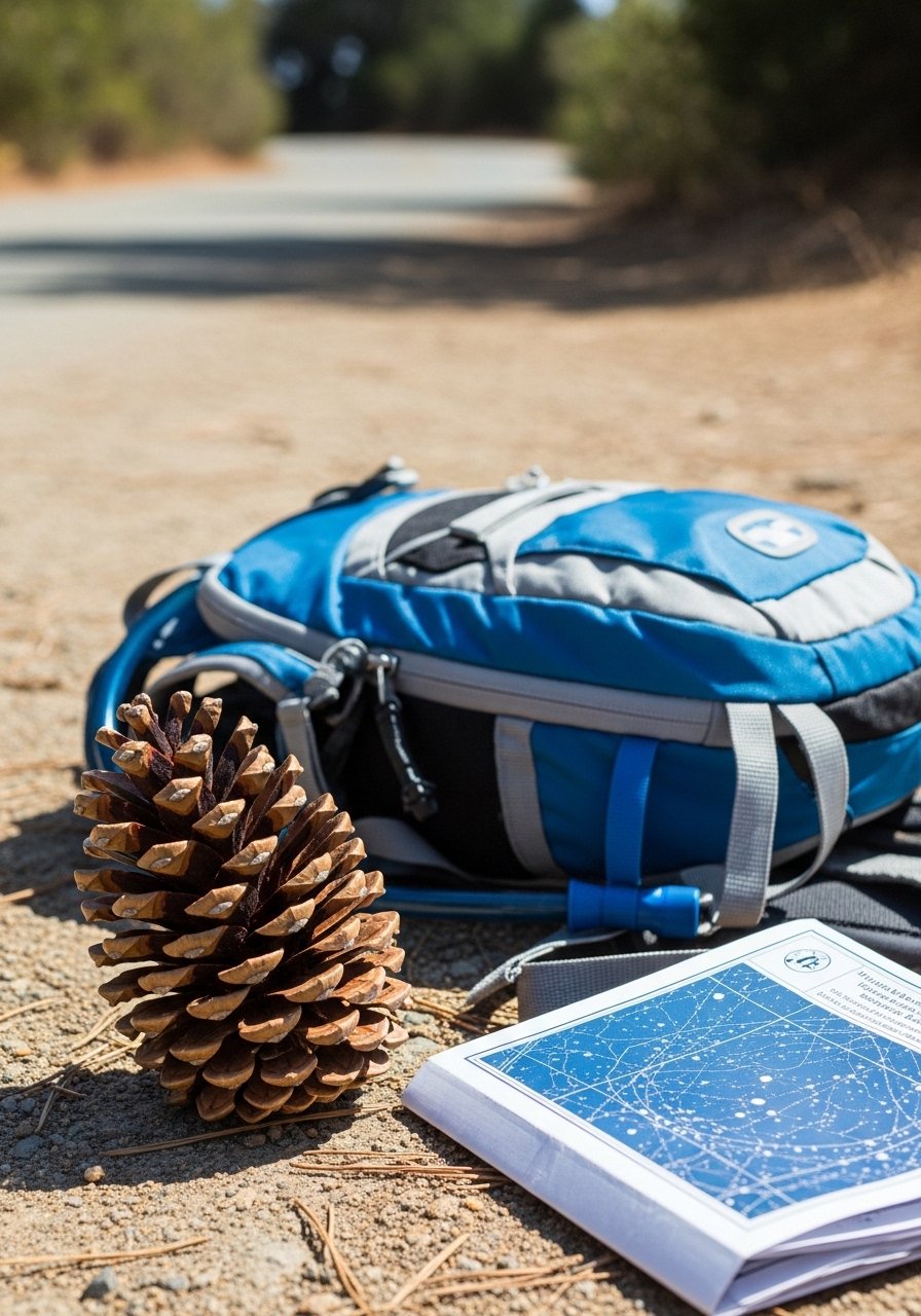
LA escape switchbacks. Dawson Saddle wind whips. Big Pines picnic tables.
Stars night clear.
Fire scars heal.
Curves fun.
What You’ll Need for This Trip
Mountain curve grip tires? Wait, driving gloves
22. Scenic Byway 12 from Panguitch to Escalante
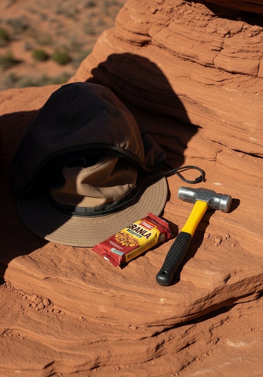
Dixie NF pines to desert. Calf Creek Falls hike oasis. Grosvenors Arch double.
Hogback no rails thrill.
Sunset hoodoos glow.
UT wild.
What You’ll Need for This Trip
Rock collection magnifying glass
23. Skyline Drive in Shenandoah National Park

105 miles ridges. Blackrock hollow echoes. I missed Dark Hollow Falls turn, backtracked annoyed.
Rangers chat spots deer.
Fall leaves peak October.
Hawks circle.
What You’ll Need for This Trip
24. Grand Teton Scenic Loop from Jackson
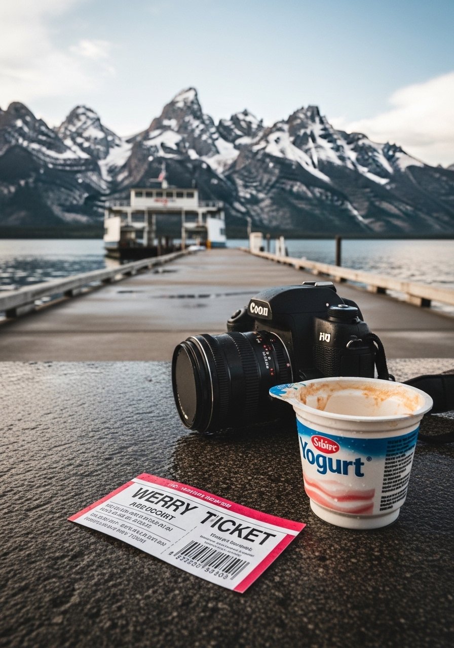
Snake River curves tetons barn famous. Signal Mountain road up view 360. Mormon Row historic.
Moose wetland dawn.
Bison jam slow.
Wildflowers summer.
What You’ll Need for This Trip
25. Seward Highway Extension to Homer Spit
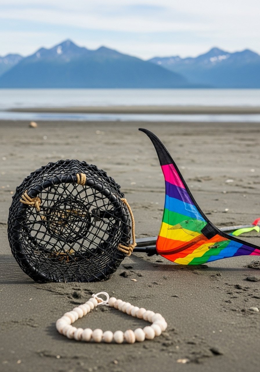
Kachemak Bay halibut spots. Beluga lookout. Spit shops salty.
Coal mine history.
Bird sanctuary calls.
Tide pools life.
What You’ll Need for This Trip
Final Thoughts
Pick two or three that fit your map. No need all 25 – one good drive resets everything. Gas up, windows down, go. You got this; roads wait patient. Safe turns.
Leave a Reply